-

Schedules
From monday to sunday
from 10 to 19h -

Situation
Avinguda de les
Drassanes, s/n
08001 Barcelona
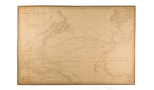
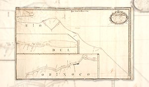
Hand-drawn map of South America by Miguel Buigas and Miguel Martorell
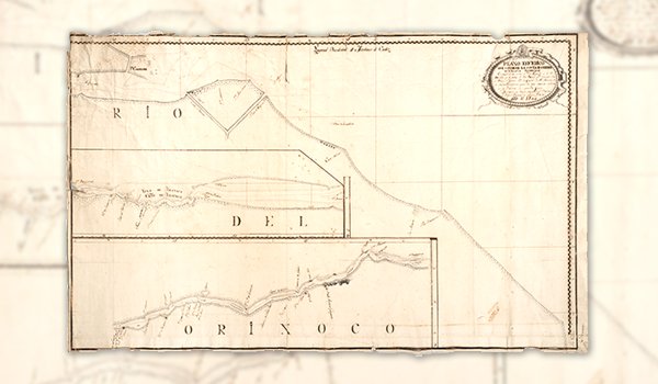
Plano esférico que contiene la costa de Guayana en la América Septentrional..., Miguel Buigas; Miguel Martorell Alsina, 1805
Llegir més
Num. inventory: 1977C
Object name: nautical chart
Title: Plano esférico que contiene la costa de Guayana en la América Septentrional...
Object date: 1805
Author: Miguel Buigas; Miguel Martorell Alsina
Technique and material: hand-drawn in ink and pencil on paper
Cartography
This map from 1805 is entitled “Spherical map that contains the coast of Guiana in South America between the Esguibo and Orinoco rivers, and the part of the River that goes from the Maximum Point to the City of St. Thomas in New Guiana; according to the most precise news of the explorations of that coast, delineated and drawn by Miguel Buigas and Miguel Martorell y Alsina, navigators.”
The map shows the route taken by the two sailors up the Orinoco river, marked in red ink. The coordinates are: O 60° 32′ – O 56° 47’/N 9° 05′ – N 6° 45′. The meridian of origin is at San Fernando, in Cádiz. The map has an approximate scale of 1:434,000.


