-

Schedules
From monday to sunday
from 10 to 19h -

Situation
Avinguda de les
Drassanes, s/n
08001 Barcelona
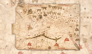
Nautical Atlas from 1600 by Vicenç Prunes
Nautical Atlas of the Atlantic and Mediterranean Sea, Vicenç Prunes, 1600
Llegir més
Num. inventory: 4775
Object name: nautical atlas
Title: [Nautical Atlas of the Atlantic and Mediterranean Sea]
Object date: 1600
Author: Vicenç Prunes
Technique and material: coloured drawing on parchment.
Cartography
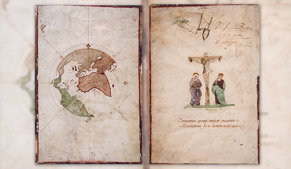
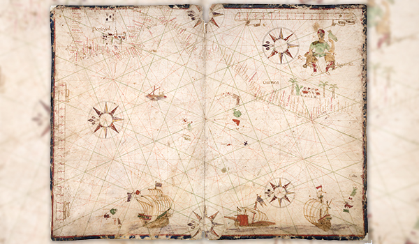
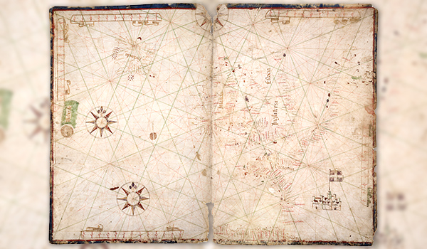
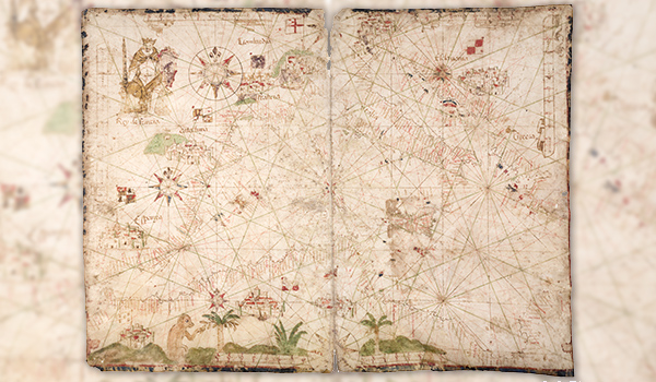
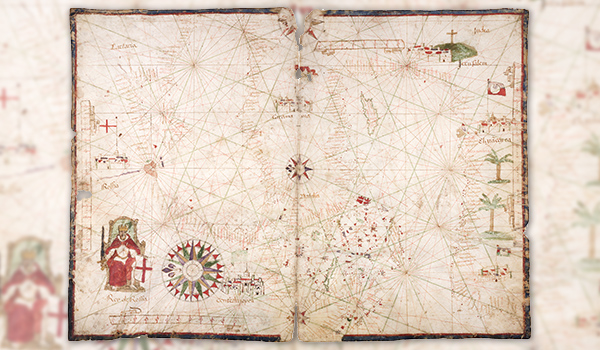
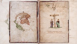
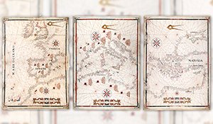
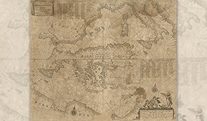
This atlas was completed by Vicenç Prunes in Majorca in 1600, on five sheets of parchment. The first is the cover, illustrated with an image of the crucifixion and a circular mappa mundi. The second shows the Atlantic coasts of Europe, and the third shows the Atlantic coast of the Iberian Peninsula and North Africa. The fourth shows the western and central Mediterranean up to Greece, and the fifth shows the western Mediterranean, the Black Sea and the Sea of Azov. The atlas is signed by the author: “Vicentius Prunes me fecit in civitate Maioricarum Anno Domini nostri 1600” and it includes the inscription “Dn Francisco Brotons/ (A.W.?) Carta de navegar (?)”. It also includes several decorative elements, like figures of kings, ships, cities with their flags, flora and fauna and compass roses.


